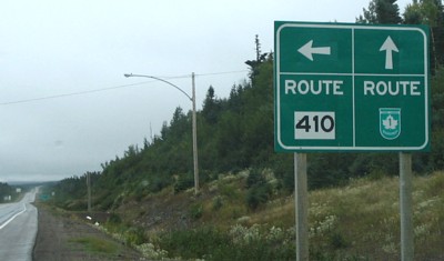
Route 1 east (Trans Canada Hwy) at Route 410.
| Road Signs in Newfoundland and Labrador |
| A Photo Gallery by Martin Durocher | Home | Français |
| Western |
Route 1 east (Trans Canada Hwy) at Route 410. |
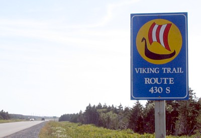 Route 430 south, Viking Trail, Sally's Cove |
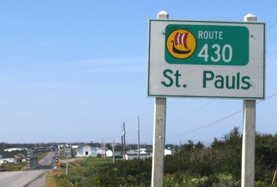 Route 430 south, St. Pauls |
 End Route 431 at Route 430, Wiltondale. At the right (south) to Deer Lake and Route 1, at the left (north) to St Anthony and L'Anse aux Meadows. |
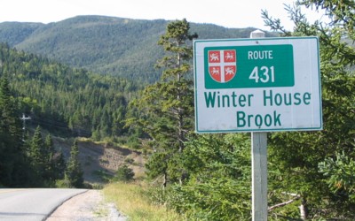 Route 431, Winter House Brook |
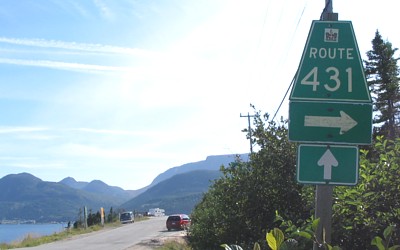 Route 431, Woddy Point At the right to Trout River, strait ahead to Wiltondale and Route 430. |
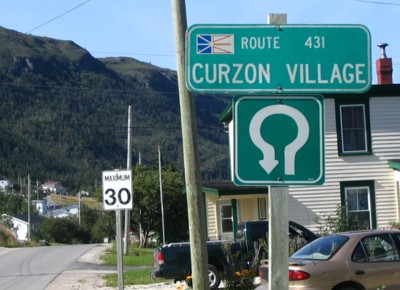 Curzon Village (Located near Woddy Point, just off Route 431) |
 Route 431, Trout River, to Woody Point |
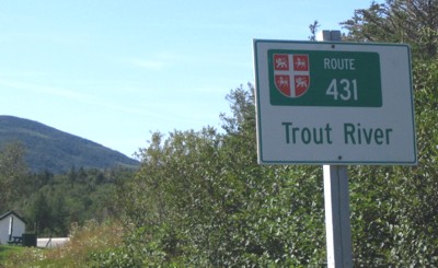 Route 431, Trout River (almost the end of Route 431) |
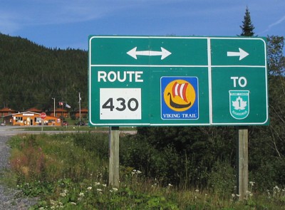
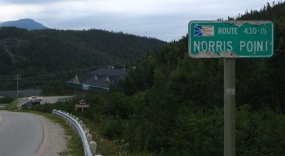 Route 430-15, Norris Point |
| Pictures by province | « Home |
| Avalon Peninsula /St. John's Area | |||
| Eastern | Central | Western | |
| All pictures are by me © 2005. -- Comments and suggestions are welcome |